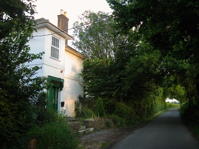
Knowles Tooth, Langton Lane
Introduction
The photograph on this page of Knowles Tooth, Langton Lane by Simon Carey as part of the Geograph project.
The Geograph project started in 2005 with the aim of publishing, organising and preserving representative images for every square kilometre of Great Britain, Ireland and the Isle of Man.
There are currently over 7.5m images from over 14,400 individuals and you can help contribute to the project by visiting https://www.geograph.org.uk

Image: © Simon Carey Taken: 6 Jul 2014
Part of the house dates back to the 17th century with an early 19th century extension. Since 1974 it has been owned by the Church of England charity, Family Support Work, who have run it as a children's holiday centre for disadvantaged families. In October 2013 it announced it would no longer accept bookings and would close the centre as it could no longer afford to keep it operable.

