Jenkin's Lane near Painswick
Introduction
The photograph on this page of Jenkin's Lane near Painswick by Jaggery as part of the Geograph project.
The Geograph project started in 2005 with the aim of publishing, organising and preserving representative images for every square kilometre of Great Britain, Ireland and the Isle of Man.

There are currently over 7.5m images from over 14,400 individuals and you can help contribute to the project by visiting https://www.geograph.org.uk
Jenkin's Lane near Painswick
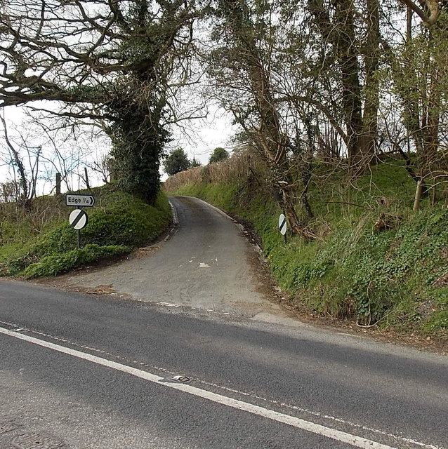
Image: © Jaggery Taken: 23 Mar 2014
Jenkin's Lane climbs away from the A46 Stroud Road. Ahead are Jenkin's Farm and the A4173, the road to the village of Edge, 1¼ miles away.
Images are licensed for reuse under creativecommons.org/licenses/by-sa/2.0
Image Location
Latitude
51.778855
Longitude
-2.206359