Leicester Forest East farmland
Introduction
The photograph on this page of Leicester Forest East farmland by Mat Fascione as part of the Geograph project.
The Geograph project started in 2005 with the aim of publishing, organising and preserving representative images for every square kilometre of Great Britain, Ireland and the Isle of Man.

There are currently over 7.5m images from over 14,400 individuals and you can help contribute to the project by visiting https://www.geograph.org.uk
Leicester Forest East farmland
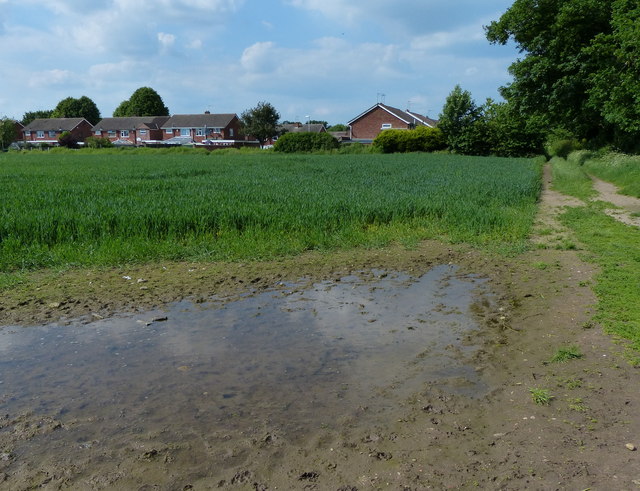
Image: © Mat Fascione Taken: 1 Jun 2014
The houses are on Hobill Close and Webb Close. Image, similar view taken two and a half years later.
Images are licensed for reuse under creativecommons.org/licenses/by-sa/2.0
Image Location
Latitude
52.620956
Longitude
-1.20924