St Mark's Church, North Downham
Introduction
The photograph on this page of St Mark's Church, North Downham by Stephen Craven as part of the Geograph project.
The Geograph project started in 2005 with the aim of publishing, organising and preserving representative images for every square kilometre of Great Britain, Ireland and the Isle of Man.

There are currently over 7.5m images from over 14,400 individuals and you can help contribute to the project by visiting https://www.geograph.org.uk
St Mark's Church, North Downham
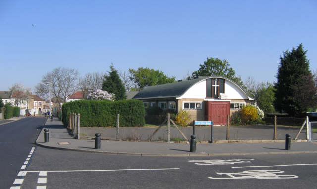
Image: © Stephen Craven Taken: 19 Apr 2007
St Mark's on the corner of Castillon Road and Baudwin Road was originally a prefabricated building erected at the same time as Image The present building dates from around 1960. The cycle markings on the road indicate that the London Cycle Network is routed through the quiet roads of this estate.
Images are licensed for reuse under creativecommons.org/licenses/by-sa/2.0
Image Location
Latitude
51.436204
Longitude
0.001243