Frinton Road; varied styles of houses
Introduction
The photograph on this page of Frinton Road; varied styles of houses by David Smith as part of the Geograph project.
The Geograph project started in 2005 with the aim of publishing, organising and preserving representative images for every square kilometre of Great Britain, Ireland and the Isle of Man.

There are currently over 7.5m images from over 14,400 individuals and you can help contribute to the project by visiting https://www.geograph.org.uk
Frinton Road; varied styles of houses
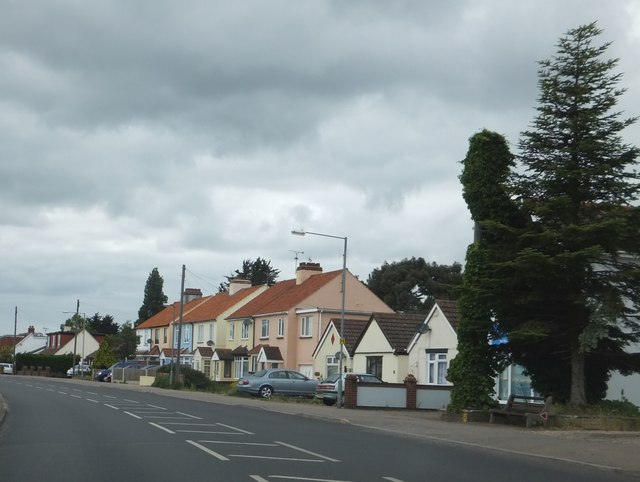
Image: © David Smith Taken: 16 Jun 2014
The main road through Kirby Cross to Frinton with some bungalows which appear to date from the 1930s alongside more modern semis. A climbing plant has taken over the telephone pole on the right!
Images are licensed for reuse under creativecommons.org/licenses/by-sa/2.0
Image Location
Latitude
51.841784
Longitude
1.226114