Hay Barn Field (2)
Introduction
The photograph on this page of Hay Barn Field (2) by Simon Carey as part of the Geograph project.
The Geograph project started in 2005 with the aim of publishing, organising and preserving representative images for every square kilometre of Great Britain, Ireland and the Isle of Man.

There are currently over 7.5m images from over 14,400 individuals and you can help contribute to the project by visiting https://www.geograph.org.uk
Hay Barn Field (2)
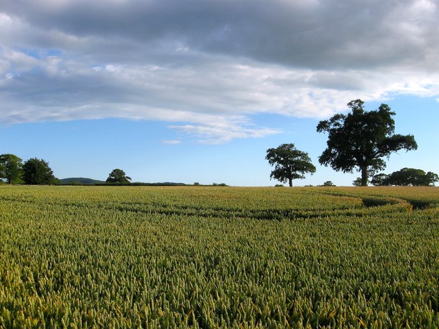
Image: © Simon Carey Taken: 6 Jul 2014
The name of the field according to Hurstpierpoint's 1842 tithe map that has now been split into two. This section now includes Image to the west though the former hedgerow trees remain in place. Beyond a newer hedge out of shot to the left is the other part of the field, see Image
Images are licensed for reuse under creativecommons.org/licenses/by-sa/2.0
Image Location


Leaflet Map data © OpenStreetMap
Latitude
50.950366
Longitude
-0.172463