West House, Cuckfield Road, Hurstpierpoint
Introduction
The photograph on this page of West House, Cuckfield Road, Hurstpierpoint by Simon Carey as part of the Geograph project.
The Geograph project started in 2005 with the aim of publishing, organising and preserving representative images for every square kilometre of Great Britain, Ireland and the Isle of Man.

There are currently over 7.5m images from over 14,400 individuals and you can help contribute to the project by visiting https://www.geograph.org.uk
West House, Cuckfield Road, Hurstpierpoint
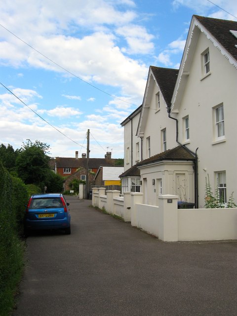
Image: © Simon Carey Taken: 6 Jul 2014
Formerly known as Fairfield and dating from the 19th century when it was the only building on the eastern side of Cuckfield Road between the village centre and Chalkers Lane, hence the fact it is at right angles with the road.
Images are licensed for reuse under creativecommons.org/licenses/by-sa/2.0
Image Location
Latitude
50.939312
Longitude
-0.178732