Marchants Road, Hurstpierpoint
Introduction
The photograph on this page of Marchants Road, Hurstpierpoint by Simon Carey as part of the Geograph project.
The Geograph project started in 2005 with the aim of publishing, organising and preserving representative images for every square kilometre of Great Britain, Ireland and the Isle of Man.

There are currently over 7.5m images from over 14,400 individuals and you can help contribute to the project by visiting https://www.geograph.org.uk
Marchants Road, Hurstpierpoint
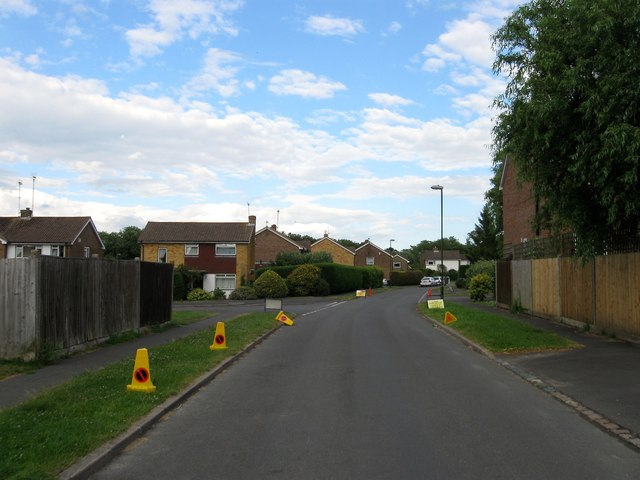
Image: © Simon Carey Taken: 6 Jul 2014
Looking eastwards from the Cuckfield Road end. The junction with Image is to the left and Image to the right. The road then heads off to a junction with Trinity Road.
Images are licensed for reuse under creativecommons.org/licenses/by-sa/2.0
Image Location
Latitude
50.936327
Longitude
-0.177568