Haymoor Bottom, power lines
Introduction
The photograph on this page of Haymoor Bottom, power lines by Mike Faherty as part of the Geograph project.
The Geograph project started in 2005 with the aim of publishing, organising and preserving representative images for every square kilometre of Great Britain, Ireland and the Isle of Man.

There are currently over 7.5m images from over 14,400 individuals and you can help contribute to the project by visiting https://www.geograph.org.uk
Haymoor Bottom, power lines
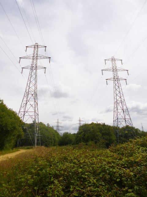
Image: © Mike Faherty Taken: 6 Jul 2014
Striding across the nature reserve towards Lower Mannington Sub-station. http://www.boroughofpoole.com/environment/countryside/haymoor-bottom-nature-reserve/
Images are licensed for reuse under creativecommons.org/licenses/by-sa/2.0
Image Location
Latitude
50.748654
Longitude
-1.954307