Alder's Bridge over the River Alt
Introduction
The photograph on this page of Alder's Bridge over the River Alt by John S Turner as part of the Geograph project.
The Geograph project started in 2005 with the aim of publishing, organising and preserving representative images for every square kilometre of Great Britain, Ireland and the Isle of Man.

There are currently over 7.5m images from over 14,400 individuals and you can help contribute to the project by visiting https://www.geograph.org.uk
Alder's Bridge over the River Alt
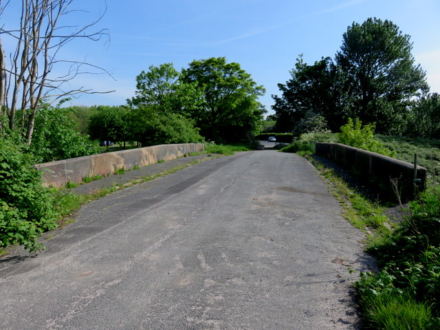
Image: © John S Turner Taken: 16 May 2014
Looking along the by-passed Moor Lane where it crosses Alder's Bridge over the River Alt. There is an Ordnance Survey bench mark at the far end of the bridge on the right hand parapet. See Image
Images are licensed for reuse under creativecommons.org/licenses/by-sa/2.0
Image Location
Latitude
53.47231
Longitude
-2.907657