Footpath reaching a corner of a field
Introduction
The photograph on this page of Footpath reaching a corner of a field by Bill Boaden as part of the Geograph project.
The Geograph project started in 2005 with the aim of publishing, organising and preserving representative images for every square kilometre of Great Britain, Ireland and the Isle of Man.

There are currently over 7.5m images from over 14,400 individuals and you can help contribute to the project by visiting https://www.geograph.org.uk
Footpath reaching a corner of a field
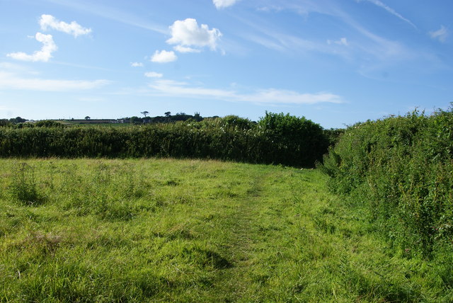
Image: © Bill Boaden Taken: 5 Jul 2014
St Michael's Way emerges through a stile in the corner onto the A30. The field is occupied by cows.
Images are licensed for reuse under creativecommons.org/licenses/by-sa/2.0
Image Location


Leaflet Map data © OpenStreetMap
Latitude
50.139089
Longitude
-5.486508