Approaching the ford across Lilburn Burn
Introduction
The photograph on this page of Approaching the ford across Lilburn Burn by Graham Robson as part of the Geograph project.
The Geograph project started in 2005 with the aim of publishing, organising and preserving representative images for every square kilometre of Great Britain, Ireland and the Isle of Man.

There are currently over 7.5m images from over 14,400 individuals and you can help contribute to the project by visiting https://www.geograph.org.uk
Approaching the ford across Lilburn Burn
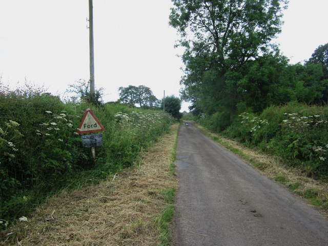
Image: © Graham Robson Taken: 7 Jul 2014
Approaching the ford across Lilburn Burn from the north this road sign warns of the water flowing across the road. The text on the bottom of the two signs reads "Dangerous when Flooded".
Images are licensed for reuse under creativecommons.org/licenses/by-sa/2.0
Image Location
Latitude
55.50876
Longitude
-1.931732