Alder's Bridge over the River Alt
Introduction
The photograph on this page of Alder's Bridge over the River Alt by John S Turner as part of the Geograph project.
The Geograph project started in 2005 with the aim of publishing, organising and preserving representative images for every square kilometre of Great Britain, Ireland and the Isle of Man.

There are currently over 7.5m images from over 14,400 individuals and you can help contribute to the project by visiting https://www.geograph.org.uk
Alder's Bridge over the River Alt
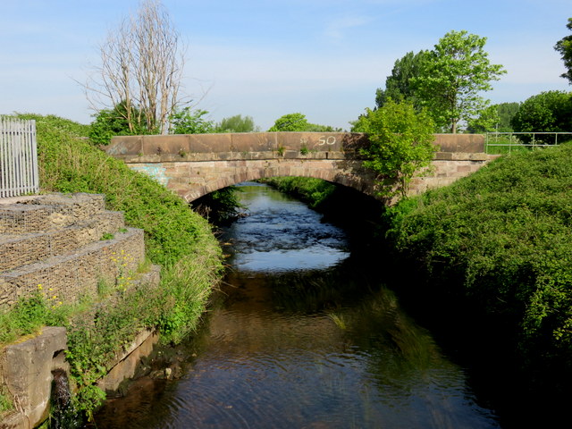
Image: © John S Turner Taken: 16 May 2014
Looking towards Alder's Bridge from the modern bridge that carries the A506 dual carriageway. The historic Alder's Bridge carries what is left of the by-passed Moor Lane over the River Alt.
Images are licensed for reuse under creativecommons.org/licenses/by-sa/2.0
Image Location
Latitude
53.47222
Longitude
-2.907655