Two bridges over the River Alt, Fazakerley
Introduction
The photograph on this page of Two bridges over the River Alt, Fazakerley by John S Turner as part of the Geograph project.
The Geograph project started in 2005 with the aim of publishing, organising and preserving representative images for every square kilometre of Great Britain, Ireland and the Isle of Man.

There are currently over 7.5m images from over 14,400 individuals and you can help contribute to the project by visiting https://www.geograph.org.uk
Two bridges over the River Alt, Fazakerley
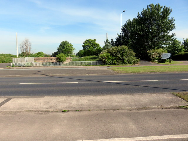
Image: © John S Turner Taken: 16 May 2014
Looking across the A506 dual carriageway, Valley Road, towards the much older sandstone Alder's Bridge. Both bridges are over the River Alt. Old maps up to 1891 show the road as Ingoe Lane, which then becomes Moor Lane on the 1908 map. By 1974 the lane had become a dual carriageway and the name was changed to Valley Road. The modern maps still show Alder's Bridge as carrying the cut off Moor Lane.
Images are licensed for reuse under creativecommons.org/licenses/by-sa/2.0
Image Location
Latitude
53.472042
Longitude
-2.90735