Peartree farm, Chopwell
Introduction
The photograph on this page of Peartree farm, Chopwell by Robert Graham as part of the Geograph project.
The Geograph project started in 2005 with the aim of publishing, organising and preserving representative images for every square kilometre of Great Britain, Ireland and the Isle of Man.

There are currently over 7.5m images from over 14,400 individuals and you can help contribute to the project by visiting https://www.geograph.org.uk
Peartree farm, Chopwell
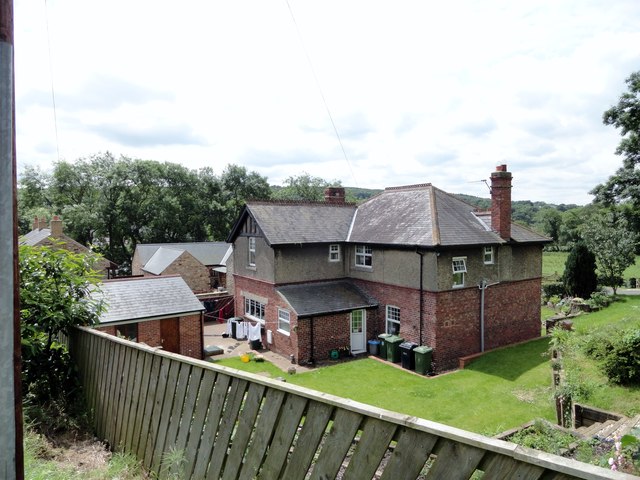
Image: © Robert Graham Taken: 25 Jun 2014
One of the farms which predate the present village of Chopwell. Until the end of the C19, Chopwell was a purely rural agricultural settlement. After this time, the colliery was sunk and housing started to be built for the mine workers. This farm was already present on the 1862 First Series Ordnance Survey map. The farmhouse shown here is obviously not from that time, but a C20 rebuild.
Images are licensed for reuse under creativecommons.org/licenses/by-sa/2.0
Image Location
Latitude
54.908022
Longitude
-1.813278