Public footpath towards the coast near Newton
Introduction
The photograph on this page of Public footpath towards the coast near Newton by eswales as part of the Geograph project.
The Geograph project started in 2005 with the aim of publishing, organising and preserving representative images for every square kilometre of Great Britain, Ireland and the Isle of Man.

There are currently over 7.5m images from over 14,400 individuals and you can help contribute to the project by visiting https://www.geograph.org.uk
Public footpath towards the coast near Newton
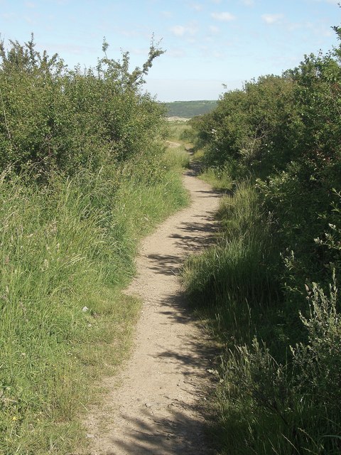
Image: © eswales Taken: 13 Jun 2014
This duneland footpath passes along part of the old (unsurfaced) road Bwlch y Cariad. Amongst other things, this road once provided access to sand and gravel works situated above the beach Traeth yr Afon. With the conversion of a part of the road to a public footpath, some of it – including the stretch seen here – has become a lot narrower through the growth of vegetation. Another stretch of the footpath, lying immediately to the south east of the one seen in this photograph, is shown in Image
Images are licensed for reuse under creativecommons.org/licenses/by-sa/2.0
Image Location
Latitude
51.4814
Longitude
-3.670006