Coed Llansawel / Briton Ferry Woods
Introduction
The photograph on this page of Coed Llansawel / Briton Ferry Woods by Alan Richards as part of the Geograph project.
The Geograph project started in 2005 with the aim of publishing, organising and preserving representative images for every square kilometre of Great Britain, Ireland and the Isle of Man.

There are currently over 7.5m images from over 14,400 individuals and you can help contribute to the project by visiting https://www.geograph.org.uk
Coed Llansawel / Briton Ferry Woods
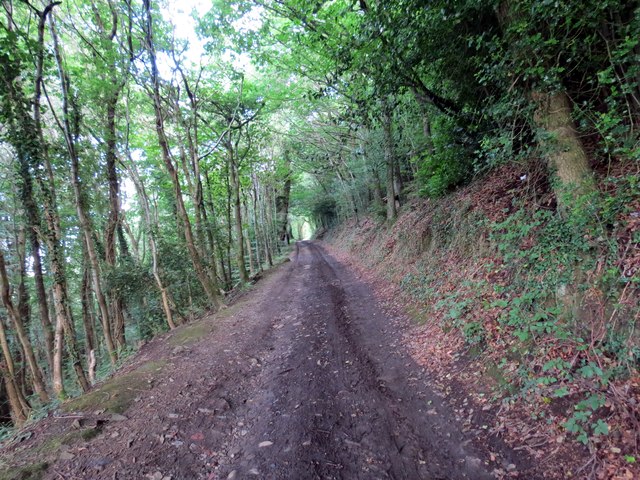
Image: © Alan Richards Taken: 6 Jul 2014
Llwybr cyhoeddus yng Nghoed Llansawel. Daw cangen ucheldir Llwybr Arfordir Cymru ar hyd y ffordd hon hefyd. A public footpath in Briton Ferry Woods. An upland route of the Wales Coastal Path also comes this way.
Images are licensed for reuse under creativecommons.org/licenses/by-sa/2.0
Image Location
Latitude
51.625887
Longitude
-3.810681