Cadbury's, Marlbrook
Introduction
The photograph on this page of Cadbury's, Marlbrook by Richard Webb as part of the Geograph project.
The Geograph project started in 2005 with the aim of publishing, organising and preserving representative images for every square kilometre of Great Britain, Ireland and the Isle of Man.

There are currently over 7.5m images from over 14,400 individuals and you can help contribute to the project by visiting https://www.geograph.org.uk
Cadbury's, Marlbrook
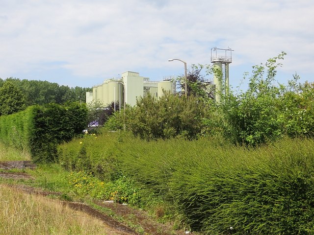
Image: © Richard Webb Taken: 1 Jul 2014
This was a milk processing plant in the 1960s and they bought our milk (from a Jersey herd). It may have a different role today, but the really amazing thing given the massive deindustrialisation of the past 35 years is that it is still here. The buildings used to stand out from a long distance, but are now well screened, with a big poplar plantation to the north. Another big change is that the A49 is a lot closer due to the building of the A49 Leominster bypass.
Images are licensed for reuse under creativecommons.org/licenses/by-sa/2.0
Image Location
Latitude
52.180555
Longitude
-2.714391