Kittsbridge Lane
Introduction
The photograph on this page of Kittsbridge Lane by Marathon as part of the Geograph project.
The Geograph project started in 2005 with the aim of publishing, organising and preserving representative images for every square kilometre of Great Britain, Ireland and the Isle of Man.

There are currently over 7.5m images from over 14,400 individuals and you can help contribute to the project by visiting https://www.geograph.org.uk
Kittsbridge Lane
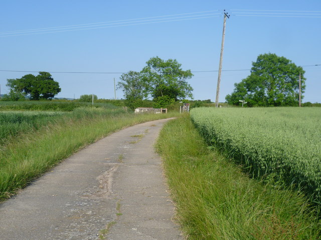
Image: © Marathon Taken: 23 Jun 2014
Sedbrook Sewer is to the left and the junction with the road to Ruckinge and Tar Pot Lane lies just ahead. Kitsbridge Lane is classed as a 'Byway open to all traffic'.
Images are licensed for reuse under creativecommons.org/licenses/by-sa/2.0
Image Location
Latitude
51.053364
Longitude
0.894397