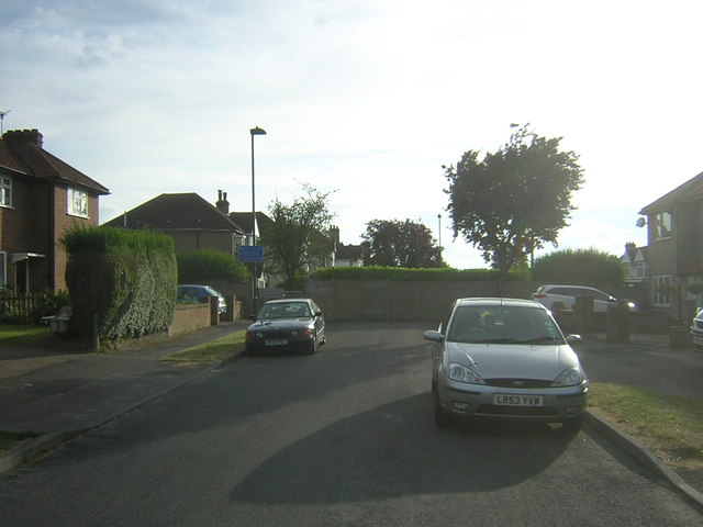
Dingwall Road, Carshalton
Introduction
The photograph on this page of Dingwall Road, Carshalton by Christopher Hilton as part of the Geograph project.
The Geograph project started in 2005 with the aim of publishing, organising and preserving representative images for every square kilometre of Great Britain, Ireland and the Isle of Man.
There are currently over 7.5m images from over 14,400 individuals and you can help contribute to the project by visiting https://www.geograph.org.uk

Image: © Christopher Hilton Taken: 4 Jul 2014
South of Carshalton village centre, Fountain Drive - the former entrance driveway - climbs towards the site of the former Queen Mary Hospital. Here, two roads approach it as if to cross it - East Drive from the west and Dingwall Road to the east - but each is blocked to road traffic by a wall. There is a degree of social separation across the entrance driveway - Dingwall Road lies within an apparent former council estate, whilst East Drive comprises more expensive private housing – and this reflects the fact that originally the walls were a solid barrier even to pedestrians. During the Second World War gaps were created in the walls to facilitate access to and from the hospital from the nearby residential areas; after the War it was intended to reinstate the barriers but local pressure prevented this, residents finding that the hospital’s entrance provided, for instance, a swift route to Carshalton Beeches station. Pedestrians are allowed through to this day, but there has never been an open road crossing. My thanks to John Hyde (http://www.geograph.org.uk/profile/122976 ) for making this layout clear.

