St Eanswith's Churchyard, Brenzett
Introduction
The photograph on this page of St Eanswith's Churchyard, Brenzett by Marathon as part of the Geograph project.
The Geograph project started in 2005 with the aim of publishing, organising and preserving representative images for every square kilometre of Great Britain, Ireland and the Isle of Man.

There are currently over 7.5m images from over 14,400 individuals and you can help contribute to the project by visiting https://www.geograph.org.uk
St Eanswith's Churchyard, Brenzett
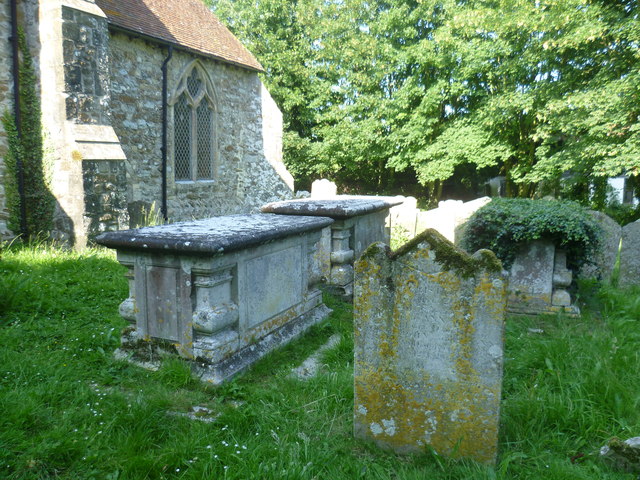
Image: © Marathon Taken: 23 Jun 2014
St Eanswith is set amongst trees and is one of the smaller churches on Romney Marsh. It is thought to have its origins in the 7th century, although no sign remains of a Saxon building. The present church is Norman and was commenced in the late 12th century. The church was restored in the 19th century.
Images are licensed for reuse under creativecommons.org/licenses/by-sa/2.0
Image Location
Latitude
51.013896
Longitude
0.857147