Retaining wall, southeast end of Coombe Vale Road, Teignmouth
Introduction
The photograph on this page of Retaining wall, southeast end of Coombe Vale Road, Teignmouth by Robin Stott as part of the Geograph project.
The Geograph project started in 2005 with the aim of publishing, organising and preserving representative images for every square kilometre of Great Britain, Ireland and the Isle of Man.

There are currently over 7.5m images from over 14,400 individuals and you can help contribute to the project by visiting https://www.geograph.org.uk
Retaining wall, southeast end of Coombe Vale Road, Teignmouth
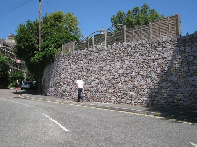
Image: © Robin Stott Taken: 6 Jul 2013
The remodelling of the southeast end of Coombe Vale Road (originally Coombe Road) and the widening of Bitton Park Road (originally Bitton Road) appears on a map of 1963, along with the award-winning Regency-flavoured flats and maisonettes on Parson Street and Gloucester Road that replaced bomb-damaged crowded terraces. See http://www.geograph.org.uk/photo/3387960 and http://www.geograph.org.uk/photo/4056645
Images are licensed for reuse under creativecommons.org/licenses/by-sa/2.0
Image Location
Latitude
50.547775
Longitude
-3.50284