House at Borough Cross
Introduction
The photograph on this page of House at Borough Cross by David Hawgood as part of the Geograph project.
The Geograph project started in 2005 with the aim of publishing, organising and preserving representative images for every square kilometre of Great Britain, Ireland and the Isle of Man.

There are currently over 7.5m images from over 14,400 individuals and you can help contribute to the project by visiting https://www.geograph.org.uk
House at Borough Cross
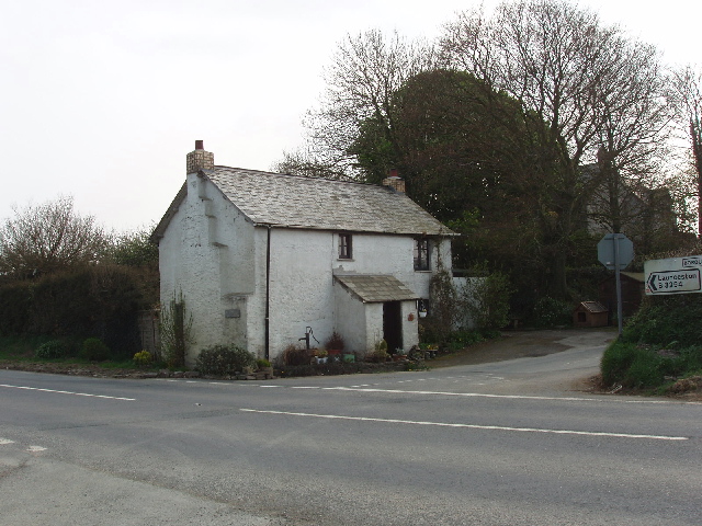
Image: © David Hawgood Taken: 16 Apr 2007
The house is by the B3254, which at this point is the watershed between the Atlantic 4 miles away to the west and the English Channel 30 miles away down the Tamar to the south-east.
Images are licensed for reuse under creativecommons.org/licenses/by-sa/2.0
Image Location
Latitude
50.797104
Longitude
-4.463306