Low Side
Introduction
The photograph on this page of Low Side by Bill Boaden as part of the Geograph project.
The Geograph project started in 2005 with the aim of publishing, organising and preserving representative images for every square kilometre of Great Britain, Ireland and the Isle of Man.

There are currently over 7.5m images from over 14,400 individuals and you can help contribute to the project by visiting https://www.geograph.org.uk
Low Side
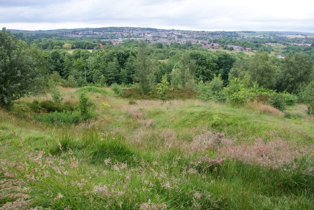
Image: © Bill Boaden Taken: 24 Jun 2014
An area of higher ground showing the large amount of greenery in southern Oldham. The hills beyond have the suburbs of Grotton and Springhead.
Images are licensed for reuse under creativecommons.org/licenses/by-sa/2.0
Image Location
Latitude
53.531006
Longitude
-2.086103