Former Methodist chapel, Titson
Introduction
The photograph on this page of Former Methodist chapel, Titson by David Hawgood as part of the Geograph project.
The Geograph project started in 2005 with the aim of publishing, organising and preserving representative images for every square kilometre of Great Britain, Ireland and the Isle of Man.

There are currently over 7.5m images from over 14,400 individuals and you can help contribute to the project by visiting https://www.geograph.org.uk
Former Methodist chapel, Titson
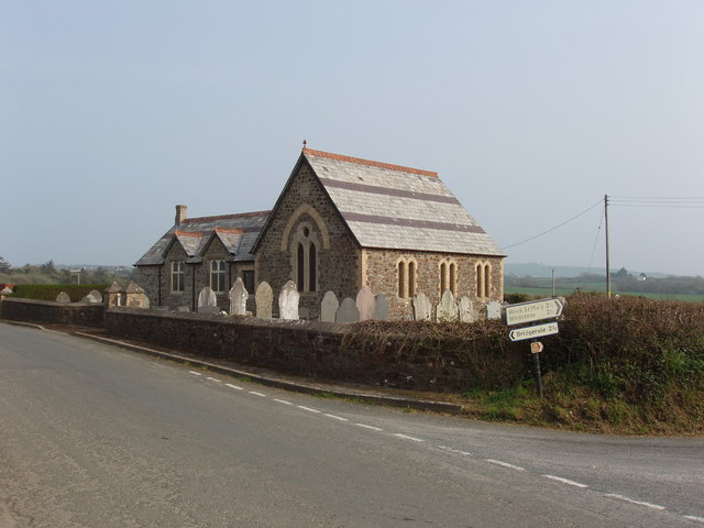
Image: © David Hawgood Taken: 16 Apr 2007
This chapel has been converted to a dwelling house. A peculiarity of the site is that the churchyard surrounds the house on three sides, but is separate from it, and seems to be open to the public.
Images are licensed for reuse under creativecommons.org/licenses/by-sa/2.0
Image Location
Latitude
50.787104
Longitude
-4.493712