Bovey Tracey: Pottery Pond
Introduction
The photograph on this page of Bovey Tracey: Pottery Pond by Martin Bodman as part of the Geograph project.
The Geograph project started in 2005 with the aim of publishing, organising and preserving representative images for every square kilometre of Great Britain, Ireland and the Isle of Man.

There are currently over 7.5m images from over 14,400 individuals and you can help contribute to the project by visiting https://www.geograph.org.uk
Bovey Tracey: Pottery Pond
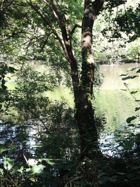
Image: © Martin Bodman Taken: 3 Jul 2014
The pond was originally fed by a long leat from the Becka Brook up on Dartmoor, several miles away. In turn the pond powered machinery at Higher Mill, and probably Lower Mill too. These mills were part of the Bovey Pottery, which was expanded under the management of Mr Divett in the 1850s
Images are licensed for reuse under creativecommons.org/licenses/by-sa/2.0
Image Location
Latitude
50.582598
Longitude
-3.679246