Stonebridge allotments, Faversham
Introduction
The photograph on this page of Stonebridge allotments, Faversham by pam fray as part of the Geograph project.
The Geograph project started in 2005 with the aim of publishing, organising and preserving representative images for every square kilometre of Great Britain, Ireland and the Isle of Man.

There are currently over 7.5m images from over 14,400 individuals and you can help contribute to the project by visiting https://www.geograph.org.uk
Stonebridge allotments, Faversham
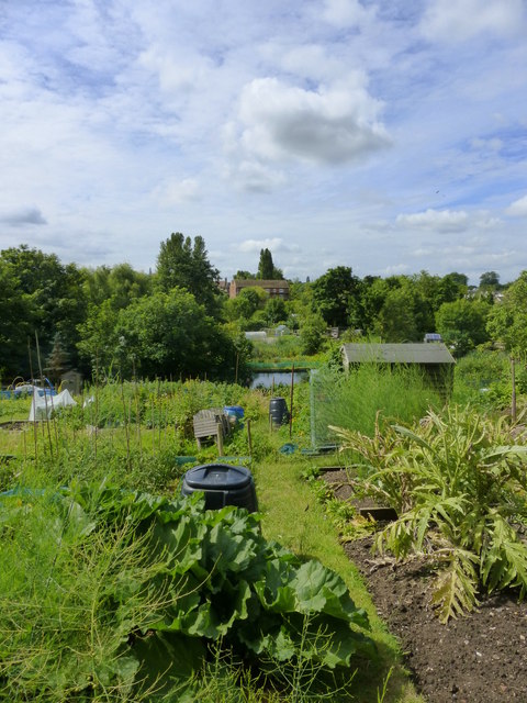
Image: © pam fray Taken: 29 Jun 2014
Viewed from the northern end towards Twymans Mill in the distance in West Street.
Images are licensed for reuse under creativecommons.org/licenses/by-sa/2.0
Image Location
Latitude
51.318461
Longitude
0.8858