OS Flush Bracket, Scraggs Gate cottage near Heath House
Introduction
The photograph on this page of OS Flush Bracket, Scraggs Gate cottage near Heath House by Richard Law as part of the Geograph project.
The Geograph project started in 2005 with the aim of publishing, organising and preserving representative images for every square kilometre of Great Britain, Ireland and the Isle of Man.

There are currently over 7.5m images from over 14,400 individuals and you can help contribute to the project by visiting https://www.geograph.org.uk
OS Flush Bracket, Scraggs Gate cottage near Heath House
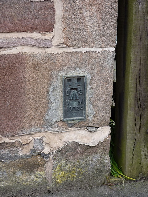
Image: © Richard Law Taken: 3 Jun 2014
An OS flush bracket affixed to one of the cottages beside the old part of the Cheadle Road; originally levelled in 1982 at 210.224m above Ordnance Datum Newlyn
Images are licensed for reuse under creativecommons.org/licenses/by-sa/2.0
Image Location
Latitude
53.057502
Longitude
-2.047032