Flooded track near Fields Farm
Introduction
The photograph on this page of Flooded track near Fields Farm by Bill Boaden as part of the Geograph project.
The Geograph project started in 2005 with the aim of publishing, organising and preserving representative images for every square kilometre of Great Britain, Ireland and the Isle of Man.

There are currently over 7.5m images from over 14,400 individuals and you can help contribute to the project by visiting https://www.geograph.org.uk
Flooded track near Fields Farm
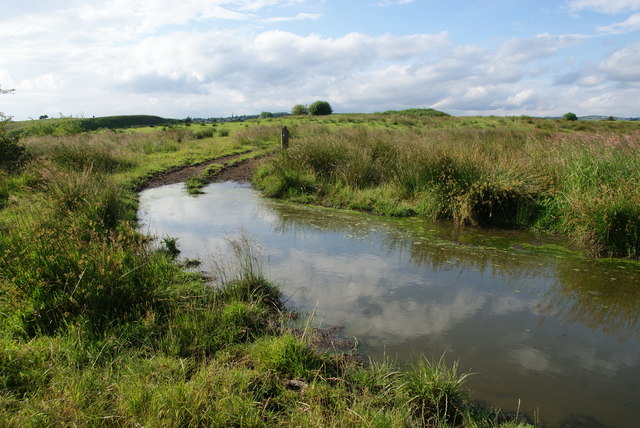
Image: © Bill Boaden Taken: 24 Jun 2014
It is possible to walk round on foot.
Images are licensed for reuse under creativecommons.org/licenses/by-sa/2.0
Image Location
Latitude
53.517707
Longitude
-2.081099