The Ballymena bypass - July 2014(4)
Introduction
The photograph on this page of The Ballymena bypass - July 2014(4) by Albert Bridge as part of the Geograph project.
The Geograph project started in 2005 with the aim of publishing, organising and preserving representative images for every square kilometre of Great Britain, Ireland and the Isle of Man.

There are currently over 7.5m images from over 14,400 individuals and you can help contribute to the project by visiting https://www.geograph.org.uk
The Ballymena bypass - July 2014(4)
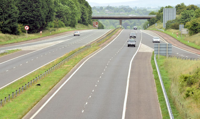
Image: © Albert Bridge Taken: 3 Jul 2014
The completed road, looking towards Ballymoney and Coleraine, from the northern side of the roundabout. For comparison “then and now” see Image (June 2006).
Images are licensed for reuse under creativecommons.org/licenses/by-sa/2.0
Image Location
Latitude
54.852687
Longitude
-6.250871