Refurbished wall and new street nameplate, corner of Mulberry Street, Teignmouth
Introduction
The photograph on this page of Refurbished wall and new street nameplate, corner of Mulberry Street, Teignmouth by Robin Stott as part of the Geograph project.
The Geograph project started in 2005 with the aim of publishing, organising and preserving representative images for every square kilometre of Great Britain, Ireland and the Isle of Man.

There are currently over 7.5m images from over 14,400 individuals and you can help contribute to the project by visiting https://www.geograph.org.uk
Refurbished wall and new street nameplate, corner of Mulberry Street, Teignmouth
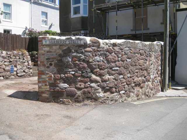
Image: © Robin Stott Taken: 6 Jul 2013
The rounded lumps of red sandstone and purplish breccia in this wall, as in other old walls in Teignmouth, might have come from the beach, long before any sea walls or promenades were built. Not much of Mulberry Street is to be seen: it must have been severed when a tunnel west of the station was converted to the deep cutting seen today, perhaps in 1892 when standard gauge line was laid and the station rebuilt.
Images are licensed for reuse under creativecommons.org/licenses/by-sa/2.0
Image Location
Latitude
50.546817
Longitude
-3.50041