Threapwood War Memorial
Introduction
The photograph on this page of Threapwood War Memorial by Jeff Buck as part of the Geograph project.
The Geograph project started in 2005 with the aim of publishing, organising and preserving representative images for every square kilometre of Great Britain, Ireland and the Isle of Man.

There are currently over 7.5m images from over 14,400 individuals and you can help contribute to the project by visiting https://www.geograph.org.uk
Threapwood War Memorial
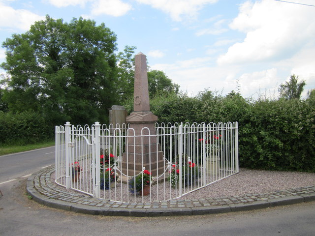
Image: © Jeff Buck Taken: 30 Jun 2014
Threapwood War Memorial at the junction of Sarn Road and Chapel Lane. Wikipedia http://en.wikipedia.org/wiki/St_John%27s_Church,_Threapwood
Images are licensed for reuse under creativecommons.org/licenses/by-sa/2.0
Image Location
Latitude
53.005484
Longitude
-2.837028