Bridleway with arch, Briary Hill, Dick Focks Common
Introduction
The photograph on this page of Bridleway with arch, Briary Hill, Dick Focks Common by Stefan Czapski as part of the Geograph project.
The Geograph project started in 2005 with the aim of publishing, organising and preserving representative images for every square kilometre of Great Britain, Ireland and the Isle of Man.

There are currently over 7.5m images from over 14,400 individuals and you can help contribute to the project by visiting https://www.geograph.org.uk
Bridleway with arch, Briary Hill, Dick Focks Common
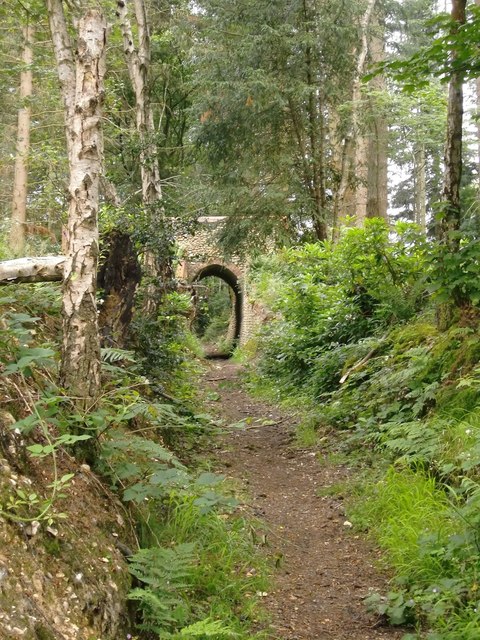
Image: © Stefan Czapski Taken: 30 Jun 2014
The arch seen here is situated perhaps 150m to the east of the arch shown in: http://www.geograph.org.uk/photo/4052543 It does not seem to have been plotted on recent OS sheets, but appears to be the arch known locally as Briary Hill East. This shot shows the approach along the bridleway - which runs in a fairly narrow trench a few feet below the level of the surrounding woodland floor.
Images are licensed for reuse under creativecommons.org/licenses/by-sa/2.0
Image Location
Latitude
51.245873
Longitude
-0.425842