Pont Lein. Railway Bridge.
Introduction
The photograph on this page of Pont Lein. Railway Bridge. by Gerallt Pennant as part of the Geograph project.
The Geograph project started in 2005 with the aim of publishing, organising and preserving representative images for every square kilometre of Great Britain, Ireland and the Isle of Man.

There are currently over 7.5m images from over 14,400 individuals and you can help contribute to the project by visiting https://www.geograph.org.uk
Pont Lein. Railway Bridge.
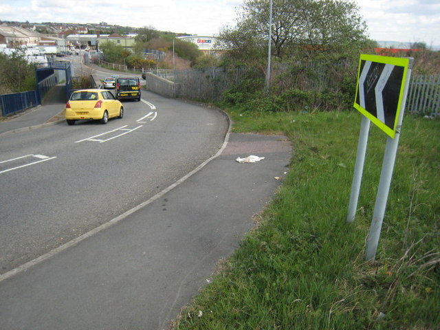
Image: © Gerallt Pennant Taken: 18 Apr 2007
Sylwer ar y bont droed gaedig ar y chwith o'r llun. The footbridge on the left is encased in mesh.
Images are licensed for reuse under creativecommons.org/licenses/by-sa/2.0
Image Location
Latitude
51.632854
Longitude
-3.964562