Borough Hill mast viewed across a garden centre
Introduction
The photograph on this page of Borough Hill mast viewed across a garden centre by Chris as part of the Geograph project.
The Geograph project started in 2005 with the aim of publishing, organising and preserving representative images for every square kilometre of Great Britain, Ireland and the Isle of Man.

There are currently over 7.5m images from over 14,400 individuals and you can help contribute to the project by visiting https://www.geograph.org.uk
Borough Hill mast viewed across a garden centre
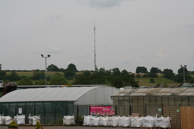
Image: © Chris Taken: 2 Jul 2014
Borough Hill is now a Country Park. It is the site of the well-known Daventry masts (11 of them) alongside the M1, which were originally long wave and short wave transmitters. Arnold Frederic Wilkins demonstrated radar, from radio waves from the Borough Hill transmitter on 26 February 1935. This one remaining mast is mainly used for Microwave communications, cell phone antennas and TETRA. See http://www.derelictplaces.co.uk/main/showthread.php?t=19657#.U7SP55RdWk0 and http://en.wikipedia.org/wiki/Weedon_Bec
Images are licensed for reuse under creativecommons.org/licenses/by-sa/2.0
Image Location


Leaflet Map data © OpenStreetMap
Latitude
52.252861
Longitude
-1.140064