Chestnut Crescent and a closed level crossing
Introduction
The photograph on this page of Chestnut Crescent and a closed level crossing by Bill Boaden as part of the Geograph project.
The Geograph project started in 2005 with the aim of publishing, organising and preserving representative images for every square kilometre of Great Britain, Ireland and the Isle of Man.

There are currently over 7.5m images from over 14,400 individuals and you can help contribute to the project by visiting https://www.geograph.org.uk
Chestnut Crescent and a closed level crossing
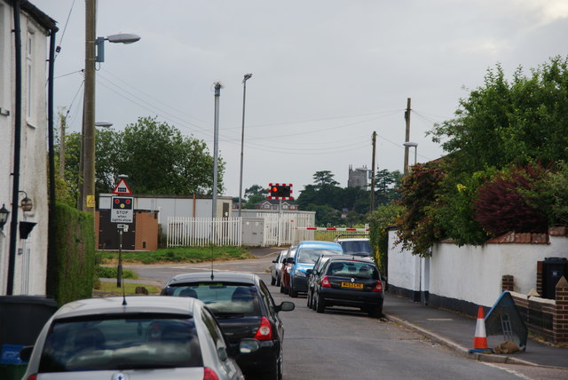
Image: © Bill Boaden Taken: 27 Jun 2014
A train is due on the main line to Exeter.
Images are licensed for reuse under creativecommons.org/licenses/by-sa/2.0
Image Location
Latitude
50.771627
Longitude
-3.509295