The end of Chestnut Crescent, Stoke Canon
Introduction
The photograph on this page of The end of Chestnut Crescent, Stoke Canon by Bill Boaden as part of the Geograph project.
The Geograph project started in 2005 with the aim of publishing, organising and preserving representative images for every square kilometre of Great Britain, Ireland and the Isle of Man.

There are currently over 7.5m images from over 14,400 individuals and you can help contribute to the project by visiting https://www.geograph.org.uk
The end of Chestnut Crescent, Stoke Canon
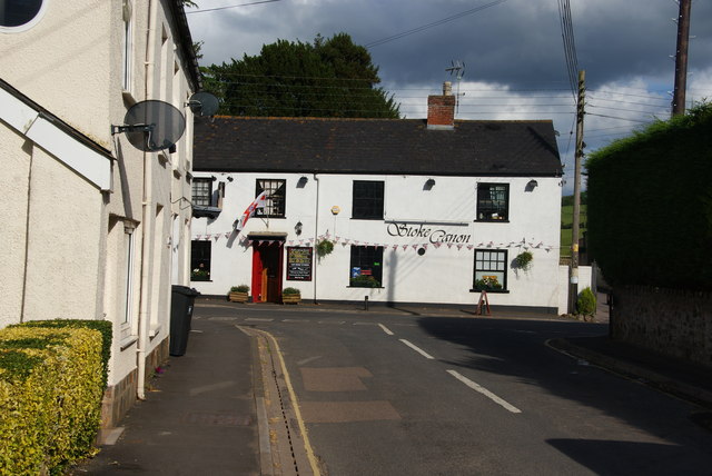
Image: © Bill Boaden Taken: 27 Jun 2014
The name of this road reflects the new housing development at the southern end of the village. This view is an older one, showing the village pub, the Stoke Canon Inn.
Images are licensed for reuse under creativecommons.org/licenses/by-sa/2.0
Image Location
Latitude
50.771385
Longitude
-3.50716