Garstang Road St. Michael's on Wyre
Introduction
The photograph on this page of Garstang Road St. Michael's on Wyre by Norman Caesar as part of the Geograph project.
The Geograph project started in 2005 with the aim of publishing, organising and preserving representative images for every square kilometre of Great Britain, Ireland and the Isle of Man.

There are currently over 7.5m images from over 14,400 individuals and you can help contribute to the project by visiting https://www.geograph.org.uk
Garstang Road St. Michael's on Wyre
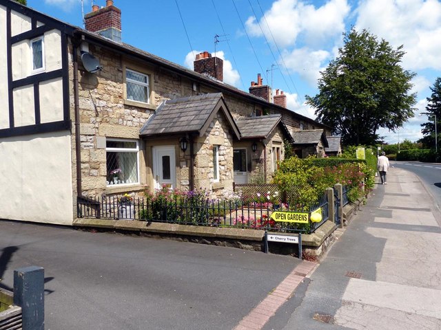
Image: © Norman Caesar Taken: 29 Jun 2014
8 gardens in the village of St. Michael's on Wyre were opened for the charity National Garden Scheme (NGS) http://www.ngs.org.uk/
Images are licensed for reuse under creativecommons.org/licenses/by-sa/2.0
Image Location
Latitude
53.86583
Longitude
-2.819593