View down Bog Hall
Introduction
The photograph on this page of View down Bog Hall by Christopher Hall as part of the Geograph project.
The Geograph project started in 2005 with the aim of publishing, organising and preserving representative images for every square kilometre of Great Britain, Ireland and the Isle of Man.

There are currently over 7.5m images from over 14,400 individuals and you can help contribute to the project by visiting https://www.geograph.org.uk
View down Bog Hall
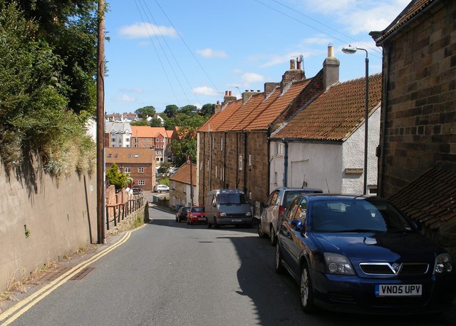
Image: © Christopher Hall Taken: 1 Jul 2014
A view down Bog Hall with 18thcentury buildings on the right and modern development at the bottom of the street. Beyond, a large modern housing complex on the other side of the River Esk.
Images are licensed for reuse under creativecommons.org/licenses/by-sa/2.0
Image Location
Latitude
54.480285
Longitude
-0.614623