St Mary's church, Lidgate
Introduction
The photograph on this page of St Mary's church, Lidgate by Bikeboy as part of the Geograph project.
The Geograph project started in 2005 with the aim of publishing, organising and preserving representative images for every square kilometre of Great Britain, Ireland and the Isle of Man.

There are currently over 7.5m images from over 14,400 individuals and you can help contribute to the project by visiting https://www.geograph.org.uk
St Mary's church, Lidgate
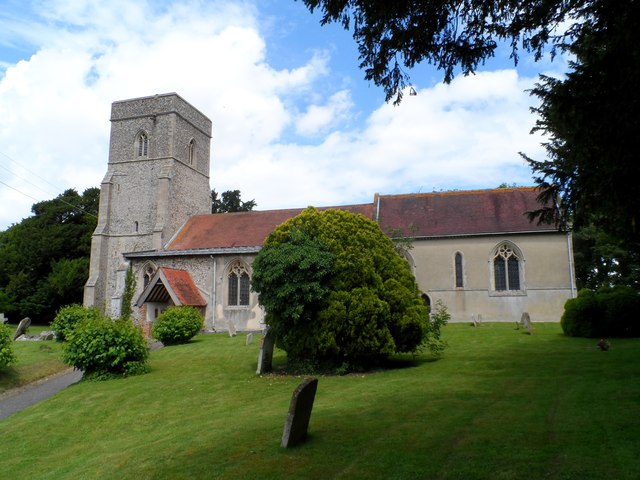
Image: © Bikeboy Taken: 28 Jun 2014
The church was probably the chapel to Lidgate Castle. The castle was built around 1143 during The Anarchy and abandoned round 1260. A lot of the fabric of the church dates from around this period. It has been suggested that this coincided with a new group of people taking over the castle chapel after its abandonment. A section of castle wall remains in the churchyard. See http://www.geograph.org.uk/photo/4052266
Images are licensed for reuse under creativecommons.org/licenses/by-sa/2.0
Image Location
Latitude
52.194712
Longitude
0.517132