Meadow south of Blyford Lane
Introduction
The photograph on this page of Meadow south of Blyford Lane by Evelyn Simak as part of the Geograph project.
The Geograph project started in 2005 with the aim of publishing, organising and preserving representative images for every square kilometre of Great Britain, Ireland and the Isle of Man.

There are currently over 7.5m images from over 14,400 individuals and you can help contribute to the project by visiting https://www.geograph.org.uk
Meadow south of Blyford Lane
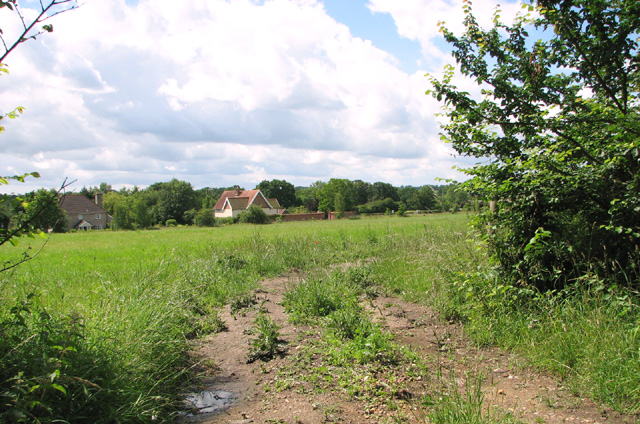
Image: © Evelyn Simak Taken: 30 Jun 2014
The houses seen in the background are situated along the B1123 (Southwold Road).
Images are licensed for reuse under creativecommons.org/licenses/by-sa/2.0
Image Location
Latitude
52.341114
Longitude
1.537552