Cranbrook War Memorial
Introduction
The photograph on this page of Cranbrook War Memorial by Marathon as part of the Geograph project.
The Geograph project started in 2005 with the aim of publishing, organising and preserving representative images for every square kilometre of Great Britain, Ireland and the Isle of Man.

There are currently over 7.5m images from over 14,400 individuals and you can help contribute to the project by visiting https://www.geograph.org.uk
Cranbrook War Memorial
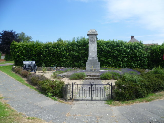
Image: © Marathon Taken: 23 Jun 2014
Cranbrook War Memorial is on a very prominent site as the village is approached from the south. It is on a triangle between Hartley Road (A229) which is to the left here and High Street which is to the right.
Images are licensed for reuse under creativecommons.org/licenses/by-sa/2.0
Image Location
Latitude
51.093622
Longitude
0.523557