The Craigendoran Burn
Introduction
The photograph on this page of The Craigendoran Burn by Lairich Rig as part of the Geograph project.
The Geograph project started in 2005 with the aim of publishing, organising and preserving representative images for every square kilometre of Great Britain, Ireland and the Isle of Man.

There are currently over 7.5m images from over 14,400 individuals and you can help contribute to the project by visiting https://www.geograph.org.uk
The Craigendoran Burn
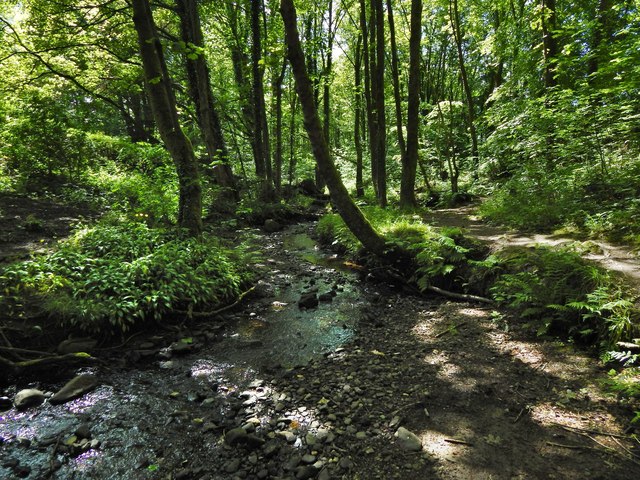
Image: © Lairich Rig Taken: 6 Jun 2014
The subject is as in Image, but the present view is downstream rather than upstream. The adjacent road (see the map) is at the top of the bank to the left.
Images are licensed for reuse under creativecommons.org/licenses/by-sa/2.0
Image Location
Latitude
55.99708
Longitude
-4.701299