Farmland near Edge Grange
Introduction
The photograph on this page of Farmland near Edge Grange by Espresso Addict as part of the Geograph project.
The Geograph project started in 2005 with the aim of publishing, organising and preserving representative images for every square kilometre of Great Britain, Ireland and the Isle of Man.

There are currently over 7.5m images from over 14,400 individuals and you can help contribute to the project by visiting https://www.geograph.org.uk
Farmland near Edge Grange
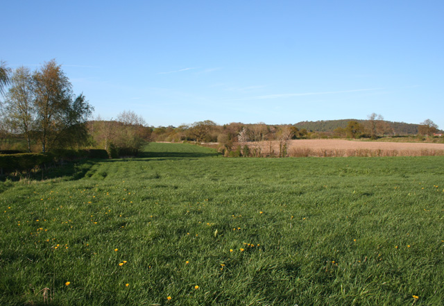
Image: © Espresso Addict Taken: 18 Apr 2007
Gently sloping pasture and a ploughed arable field (right) reflect the range of agricultural uses of this area. A small brook runs along the field boundary (right). The Bickerton hills are in the background. View from the public footpath between Grange Lane and Mates Farm
Images are licensed for reuse under creativecommons.org/licenses/by-sa/2.0
Image Location


Leaflet Map data © OpenStreetMap
Latitude
53.054952
Longitude
-2.780247