Track to Craigendoran
Introduction
The photograph on this page of Track to Craigendoran by Lairich Rig as part of the Geograph project.
The Geograph project started in 2005 with the aim of publishing, organising and preserving representative images for every square kilometre of Great Britain, Ireland and the Isle of Man.

There are currently over 7.5m images from over 14,400 individuals and you can help contribute to the project by visiting https://www.geograph.org.uk
Track to Craigendoran
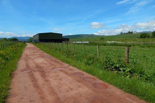
Image: © Lairich Rig Taken: 6 Jun 2014
The track is part of the Three Lochs Way. The buildings on the left also appear in Image; for the house in the right background, see Image See Image for a view in the opposite direction from roughly the same point.
Images are licensed for reuse under creativecommons.org/licenses/by-sa/2.0
Image Location
Latitude
56.00134
Longitude
-4.691491