Former hospital chapel
Introduction
The photograph on this page of Former hospital chapel by Alan Murray-Rust as part of the Geograph project.
The Geograph project started in 2005 with the aim of publishing, organising and preserving representative images for every square kilometre of Great Britain, Ireland and the Isle of Man.

There are currently over 7.5m images from over 14,400 individuals and you can help contribute to the project by visiting https://www.geograph.org.uk
Former hospital chapel
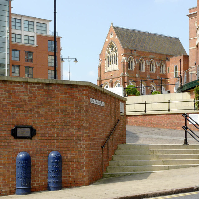
Image: © Alan Murray-Rust Taken: 23 Jun 2014
Built as part of the General Hospital. The hospital continued on this central but constricted site until the 1970s. Note also the boundary posts http://www.geograph.org.uk/photo/4049672
Images are licensed for reuse under creativecommons.org/licenses/by-sa/2.0
Image Location
Latitude
52.951502
Longitude
-1.156044