Lay-by by the A12 north of Boreham
Introduction
The photograph on this page of Lay-by by the A12 north of Boreham by David Smith as part of the Geograph project.
The Geograph project started in 2005 with the aim of publishing, organising and preserving representative images for every square kilometre of Great Britain, Ireland and the Isle of Man.

There are currently over 7.5m images from over 14,400 individuals and you can help contribute to the project by visiting https://www.geograph.org.uk
Lay-by by the A12 north of Boreham
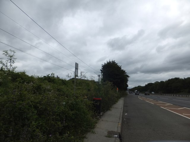
Image: © David Smith Taken: 14 Jun 2014
The lay-by has been squeezed into the space between the A12 and the railway line whose cables are visible over the bushes
Images are licensed for reuse under creativecommons.org/licenses/by-sa/2.0
Image Location
Latitude
51.765295
Longitude
0.54643