Brownings Close, Eastington
Introduction
The photograph on this page of Brownings Close, Eastington by Jaggery as part of the Geograph project.
The Geograph project started in 2005 with the aim of publishing, organising and preserving representative images for every square kilometre of Great Britain, Ireland and the Isle of Man.

There are currently over 7.5m images from over 14,400 individuals and you can help contribute to the project by visiting https://www.geograph.org.uk
Brownings Close, Eastington
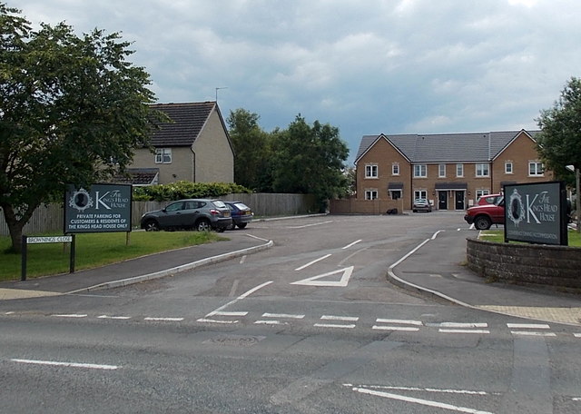
Image: © Jaggery Taken: 29 Jun 2014
Viewed across Bath Road. The large notice on the left refers to private parking for the adjacent Kings Head House.
Images are licensed for reuse under creativecommons.org/licenses/by-sa/2.0
Image Location
Latitude
51.7454
Longitude
-2.328307