Bird hide, Lower Tamar Lake
Introduction
The photograph on this page of Bird hide, Lower Tamar Lake by David Hawgood as part of the Geograph project.
The Geograph project started in 2005 with the aim of publishing, organising and preserving representative images for every square kilometre of Great Britain, Ireland and the Isle of Man.

There are currently over 7.5m images from over 14,400 individuals and you can help contribute to the project by visiting https://www.geograph.org.uk
Bird hide, Lower Tamar Lake
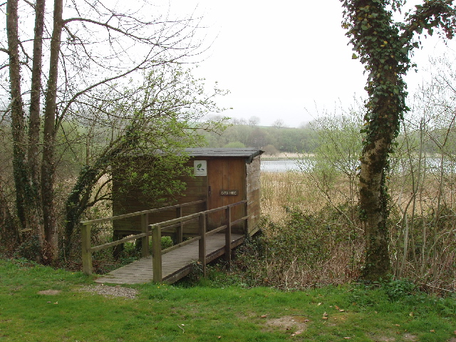
Image: © David Hawgood Taken: 15 Apr 2007
These lakes originally provided water for the Bude Canal, and provide drinking water for Bude. The Lower Lake is predominantly managed as a nature reserve as it is popular with many wildfowl, and the bird hide is open to the public. See South West Lakes Trust website http://www.swlakestrust.org.uk/index.php?id=465.
Images are licensed for reuse under creativecommons.org/licenses/by-sa/2.0
Image Location
Latitude
50.874927
Longitude
-4.427891