On the path between Hanger Down Cottages and Uppaton
Introduction
The photograph on this page of On the path between Hanger Down Cottages and Uppaton by jeff collins as part of the Geograph project.
The Geograph project started in 2005 with the aim of publishing, organising and preserving representative images for every square kilometre of Great Britain, Ireland and the Isle of Man.

There are currently over 7.5m images from over 14,400 individuals and you can help contribute to the project by visiting https://www.geograph.org.uk
On the path between Hanger Down Cottages and Uppaton
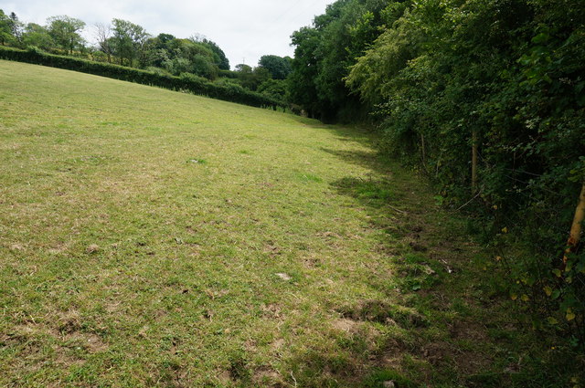
Image: © jeff collins Taken: 25 Jun 2014
To the right just beyond the hedge a small conifer plantation was being felled because it had the disease attacking Larch trees etc.
Images are licensed for reuse under creativecommons.org/licenses/by-sa/2.0
Image Location
Latitude
50.408911
Longitude
-3.9512